Trails Illustrated Map: Sequoia & Kings Canyon National Parks
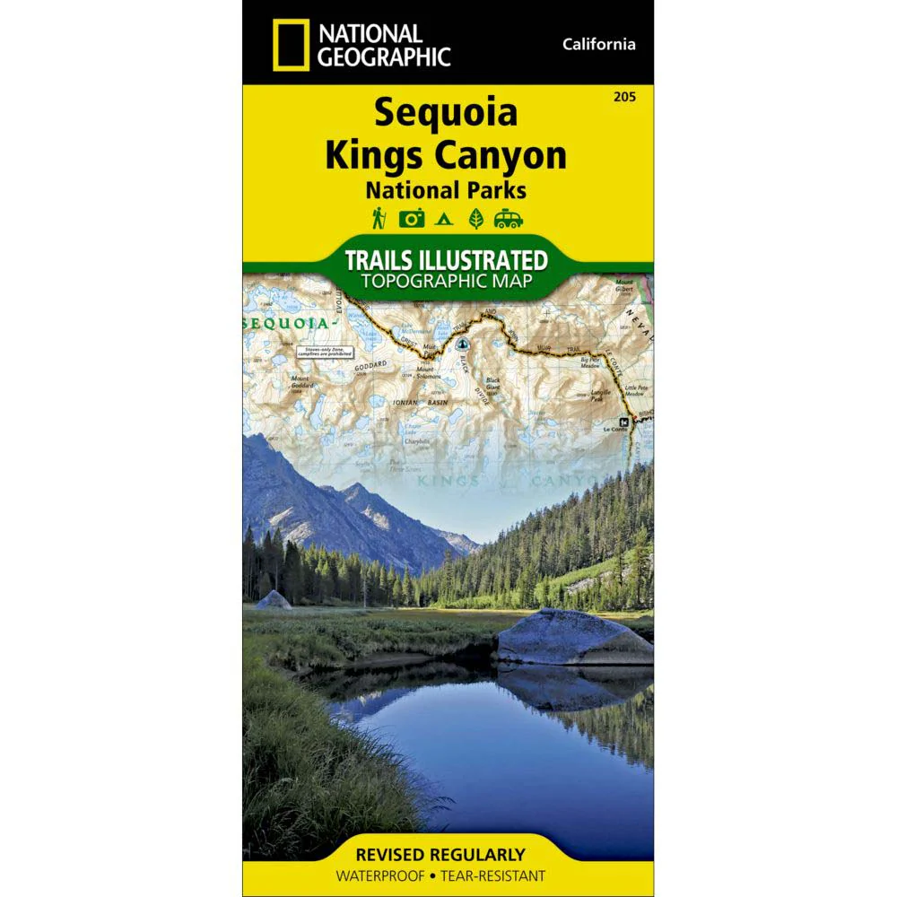
The National Geographic Trails Illustrated Map: Sequoia & Kings Canyon National Parks, a topographic map, is the most comprehensive recreational map for California's Sequoia and Kings Canyon National Parks. Some highlights of the map include Mt. Whitney, Sequoia Grove boundaries, Giant Sequoia National Monument, John Muir, Golden Trout, Jennie Lake and Monarch Wilderness Areas, John Muir Trail and Pacific Crest Trail.
New features: This revised map is updated with new shaded relief and contours. The trails have been enhanced and road and trail mileage have been added to create a more usable map for both parks. UTM grids have been added to make it more usable with your GPS.
About Trails Illustrated:
More than just a map, National Geographic Trails Illustrated topographic maps are designed to take you into the wilderness and back. Printed on tear-resistant, waterproof material, this map can go anywhere you do. Each map is based on exact reproductions of USGS topographic map information, updated, customized, and enhanced to meet the unique features of each area. The maps include valuable wilderness tips and Leave No Trace guidelines, along with updated trails, trailheads, points of interest, campgrounds, and much more. With a new color palette and stunning shaded relief, backcountry navigation has never been easier.
Original: $14.95
-65%$14.95
$5.23Product Information
Product Information
Shipping & Returns
Shipping & Returns
Description
The National Geographic Trails Illustrated Map: Sequoia & Kings Canyon National Parks, a topographic map, is the most comprehensive recreational map for California's Sequoia and Kings Canyon National Parks. Some highlights of the map include Mt. Whitney, Sequoia Grove boundaries, Giant Sequoia National Monument, John Muir, Golden Trout, Jennie Lake and Monarch Wilderness Areas, John Muir Trail and Pacific Crest Trail.
New features: This revised map is updated with new shaded relief and contours. The trails have been enhanced and road and trail mileage have been added to create a more usable map for both parks. UTM grids have been added to make it more usable with your GPS.
About Trails Illustrated:
More than just a map, National Geographic Trails Illustrated topographic maps are designed to take you into the wilderness and back. Printed on tear-resistant, waterproof material, this map can go anywhere you do. Each map is based on exact reproductions of USGS topographic map information, updated, customized, and enhanced to meet the unique features of each area. The maps include valuable wilderness tips and Leave No Trace guidelines, along with updated trails, trailheads, points of interest, campgrounds, and much more. With a new color palette and stunning shaded relief, backcountry navigation has never been easier.